
Validate postcode coverage
Verify if a postcode is covered by/within your operating areas of your business
The Geposit API empowers businesses to seamlessly validate the coverage of specific postcodes within designated business areas. This use case showcases the versatile capabilities of the Geospatial API in enabling efficient postcode coverage verification and attribute-based filtering.
Before you start
Before you start, you need to have an API key and access to Geposit Atlas. If you don't have one, please contact us at [email protected] or learn more on https://geposit.se/en/services/atlas-zoning/.
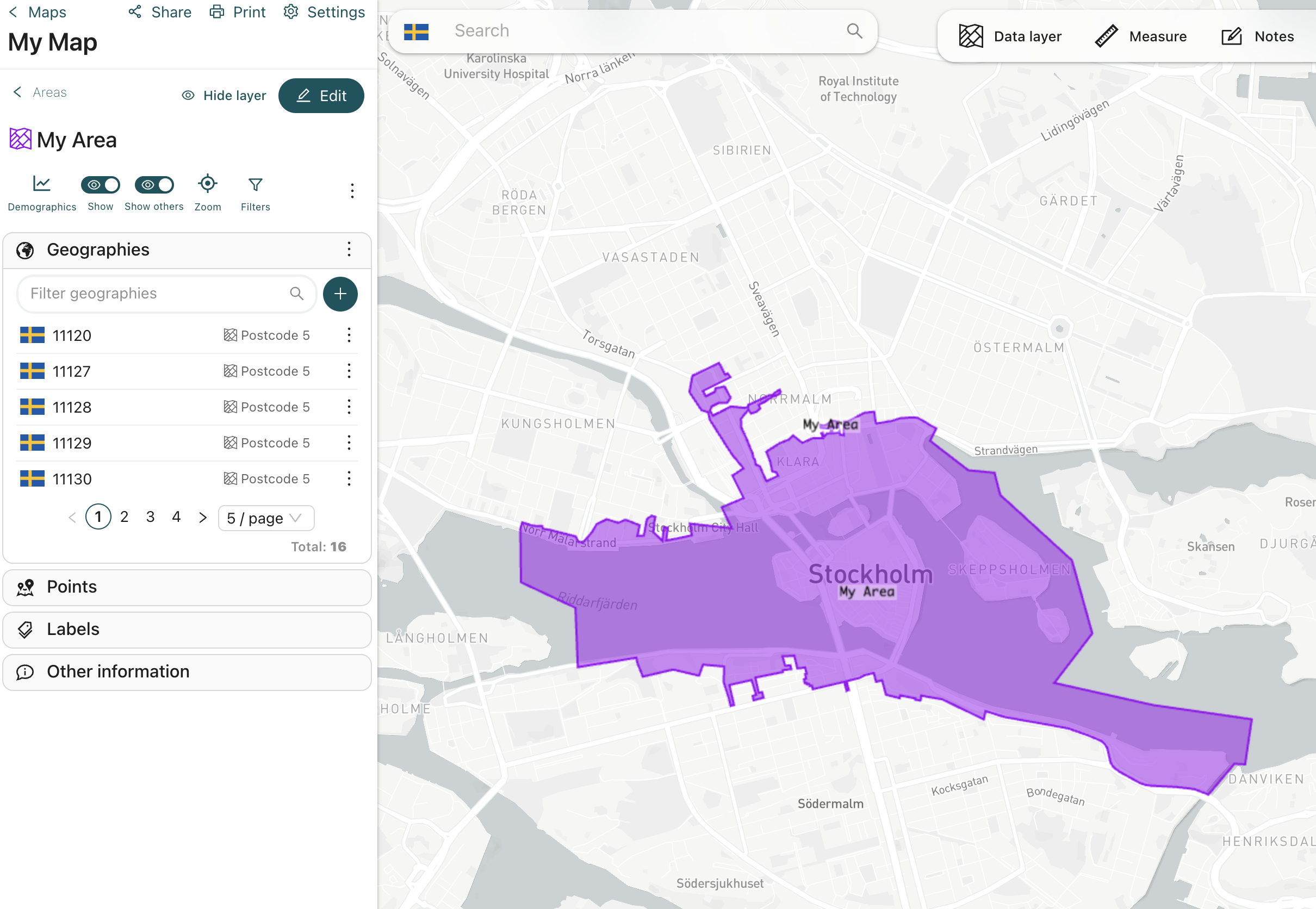
Create areas based on postcodes
The easiest way to create your custom area is to use our web app. You can login to the app on https://app.geposit.se.
- Create a new map by navigating to Atlas > Maps
- Add a new group to the map
- Add a new area to the group
- Use the selection tools to create your area based on 5-digit postcodes
- Save the area
Note: You can also create areas by using the Geposit API or importing Excel or CSV files using the import wizard. We support various administrative levels, such as postcodes, localities and district codes. Our native support covers the Nordics. See the API reference for more information on the API support.
Query a postcode using the API
Once you created the area using the Atlas interface you are ready to interact with your data using the Geposit API. The following example shows how to query a postcode using the API. In the following example we try to find any areas that contain the postcode 11120. In addition to your API key you will also need the map_id. You can get that one from the URL while you are in the map view. Or you use the API Explorer to retrieve all your existing maps: https://developer.geposit.se/reference/get_maps-1
curl --request POST \
     --url 'https://app-api.geposit.se/v2.0/container/postcode?api_key={API_TOKEN}' \
     --header 'accept: application/json' \
     --header 'content-type: application/json' \
     --data '
{
  "map_id": "{map_id}",
  "postcode": "11120",
  "region": "se"
}
'
Note: By assigning attribute lists and attribute values to your areas you can increase the query possibilities and filter your areas based on specific attributes. See the API explorer for more information on the API support.
Updated about 2 months ago